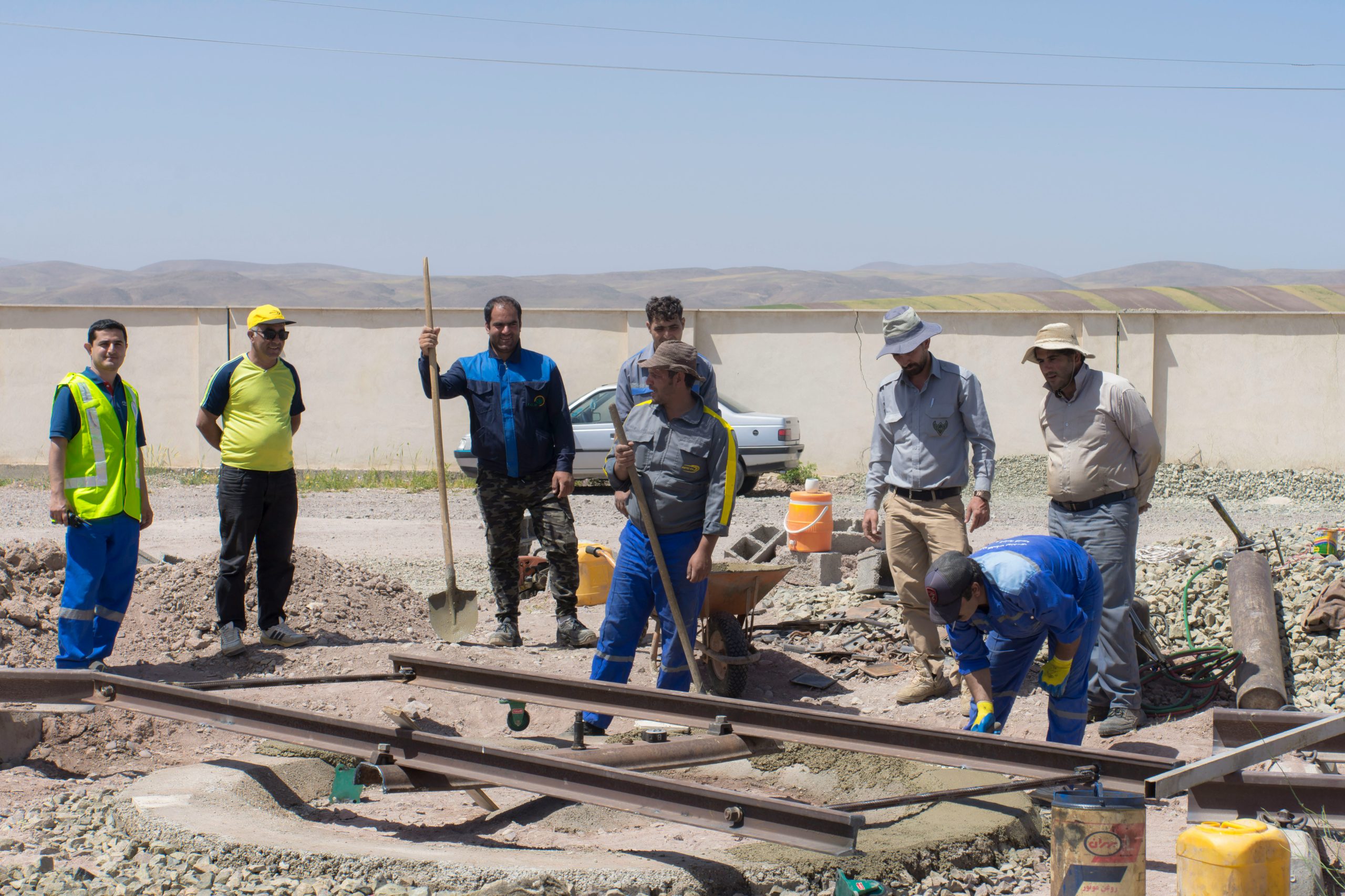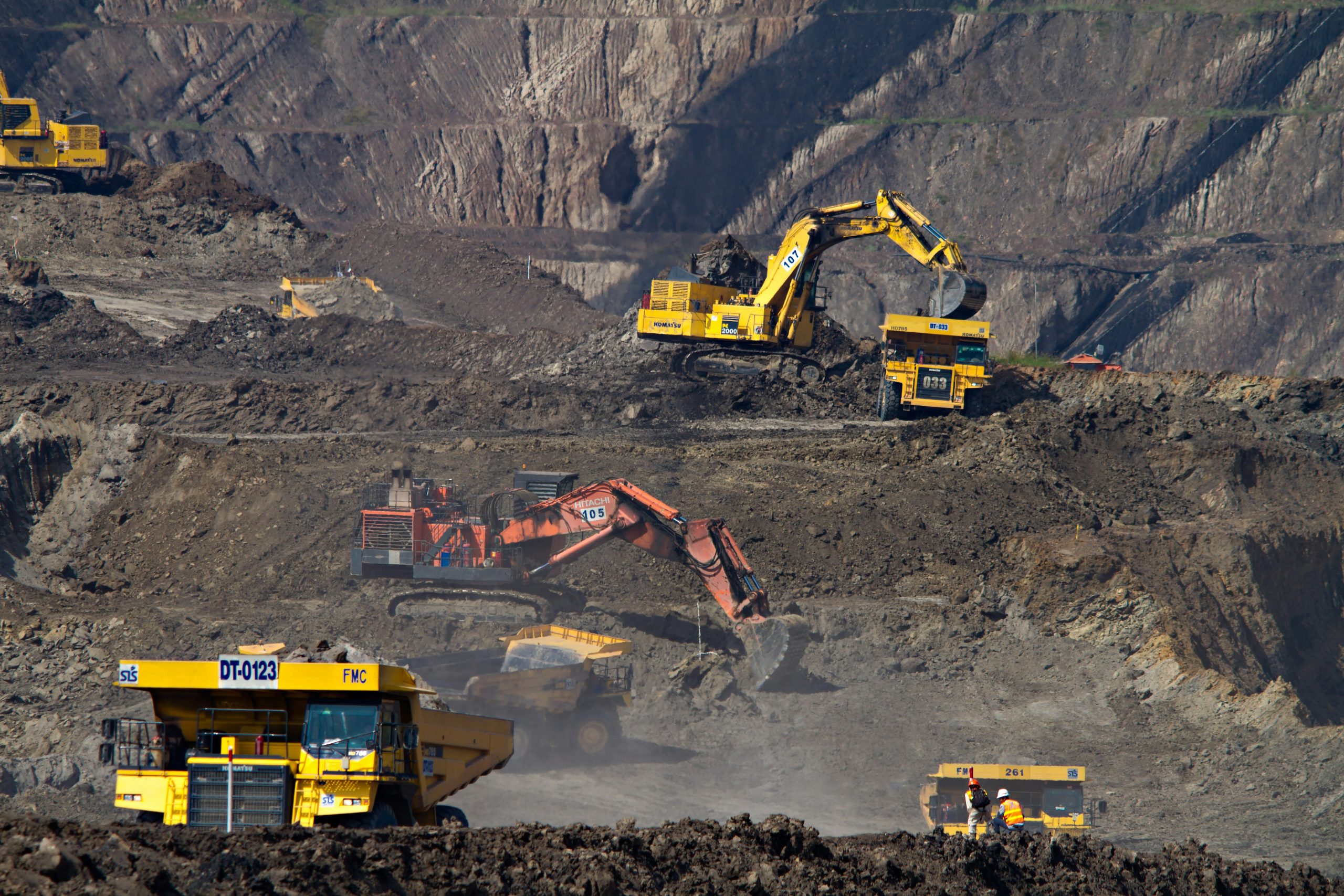
Every major infrastructure project—be it a highway, skyscraper, dam, or underground tunnel—depends on one critical factor: understanding the ground beneath. Before the first foundation is laid or excavation begins, geologists and engineers must conduct thorough geological surveys to ensure safety, stability, and long-term success.
At GeoFellas, we supply the tools that make accurate, efficient geological surveys possible.
What is a Geological Survey?
A geological survey involves systematically studying the composition, structure, and stability of the ground. This includes analyzing rock types, soil conditions, fault lines, groundwater presence, and other geotechnical factors.
Why Are Geological Surveys Crucial for Infrastructure?
1. Foundation Stability
Understanding soil and rock conditions helps engineers design stable foundations that can withstand loads and natural forces.
2. Risk Mitigation
Surveys identify geological hazards such as landslides, sinkholes, and fault zones, allowing for safer project planning.
3. Cost and Time Savings
Accurate data prevents costly surprises during construction, avoiding delays and redesigns.
4. Environmental Protection
By understanding the land, developers can minimize environmental impact and comply with regulations.
The Tools Behind Accurate Surveys
Reliable equipment is essential for effective surveys. At GeoFellas, we offer:
✔ Geological Compasses for structural mapping
✔ Soil Testing Kits for analyzing soil properties
✔ GPS Devices for precise location mapping
✔ Rock Hammers for sample collection
✔ Field Notebooks and Mapping Accessories
Partner with GeoFellas for Quality Survey Tools
We understand that infrastructure development depends on accurate geological data. With our curated selection of field-tested tools, geologists and engineers can carry out thorough, reliable surveys—ensuring that projects are built on a solid foundation.
Browse our collection today and equip your survey team for success.